CEDIM Research
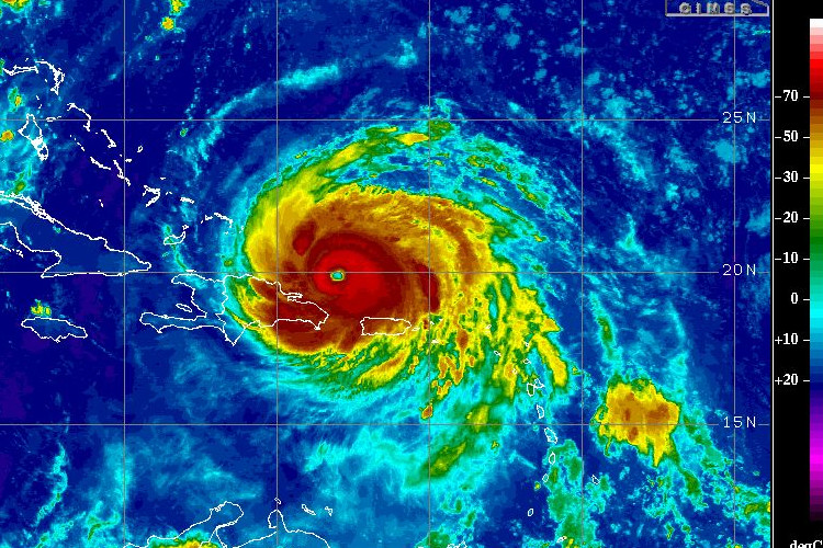
For several years, CEDIM’s research has focused on Forensic Disaster Analysis (FDA) in near-realtime. The objectives of this new research are to assess a disaster directly after its occurrence, analyse its effects, track its temporal development, and identify the factors most relevant to its implications. In the course of a CEDIM FDA-Task Force Activity, reports with different foci are written contemporaneously, i.e., a few days to weeks after the disaster occurs.
The focus of the 2020 to 2025 funding phase is "Impacts of heat waves and droughts in Germany on society, economy and ecology". As a result of climate change, heat waves – usually associated with exceptional drought and dryness – have already increased considerably in their probability of occurrence, intensity and duration in many countries around the world in recent decades. For example, while the heat waves of 2003 and 2010 in Europe were limited to a few months, the drought that began in the spring of 2018 extended into 2021, with severe consequences for the economy, society and the environment. This trend is very likely to continue and worsen in the future. For an improved understanding of the risks and a risk management adapted to the changes, in addition to the reduction of greenhouse gases, intensified research activities regarding handling, adaptation and strategy development for heat waves and droughts are urgently needed.
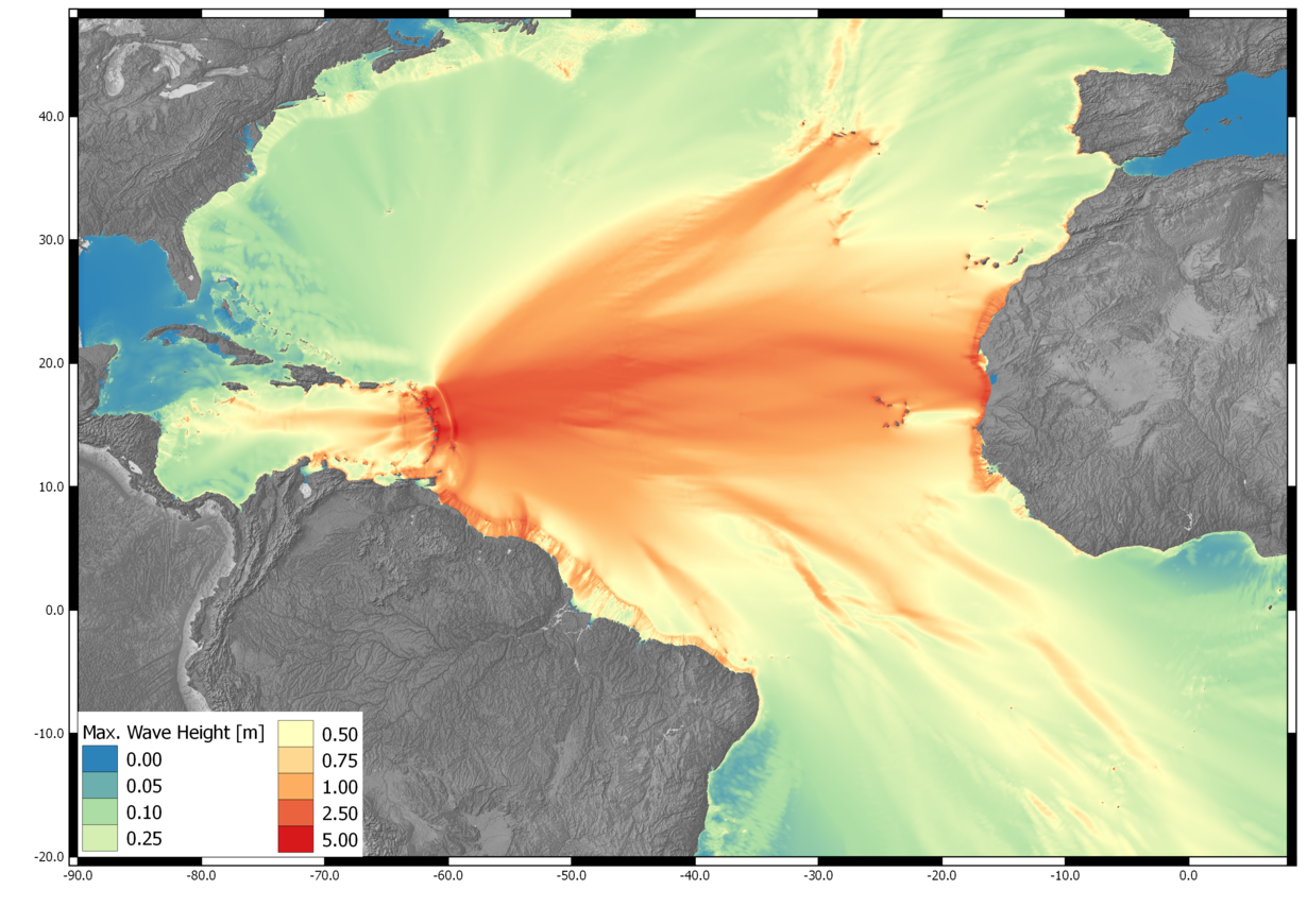
In addition, CEDIM is conducting work under various third-party funded projects that ideally complement ongoing research activities and FDA activities. These focus on damage and risk modeling of various natural hazards (hailstorms, heavy rainfall, earthquakes or tsunamis) and their impacts on society, economy or on (critical) infrastructures. Bridges between basic research and application are created here, by CEDIM cooperating with prestigious institutions such as the World Bank or international insurance companies.